Flight Paths
A story of birds across the sky through interactive data storytelling!
Lioanag, Samantha, Coll of Arts, Media & Design
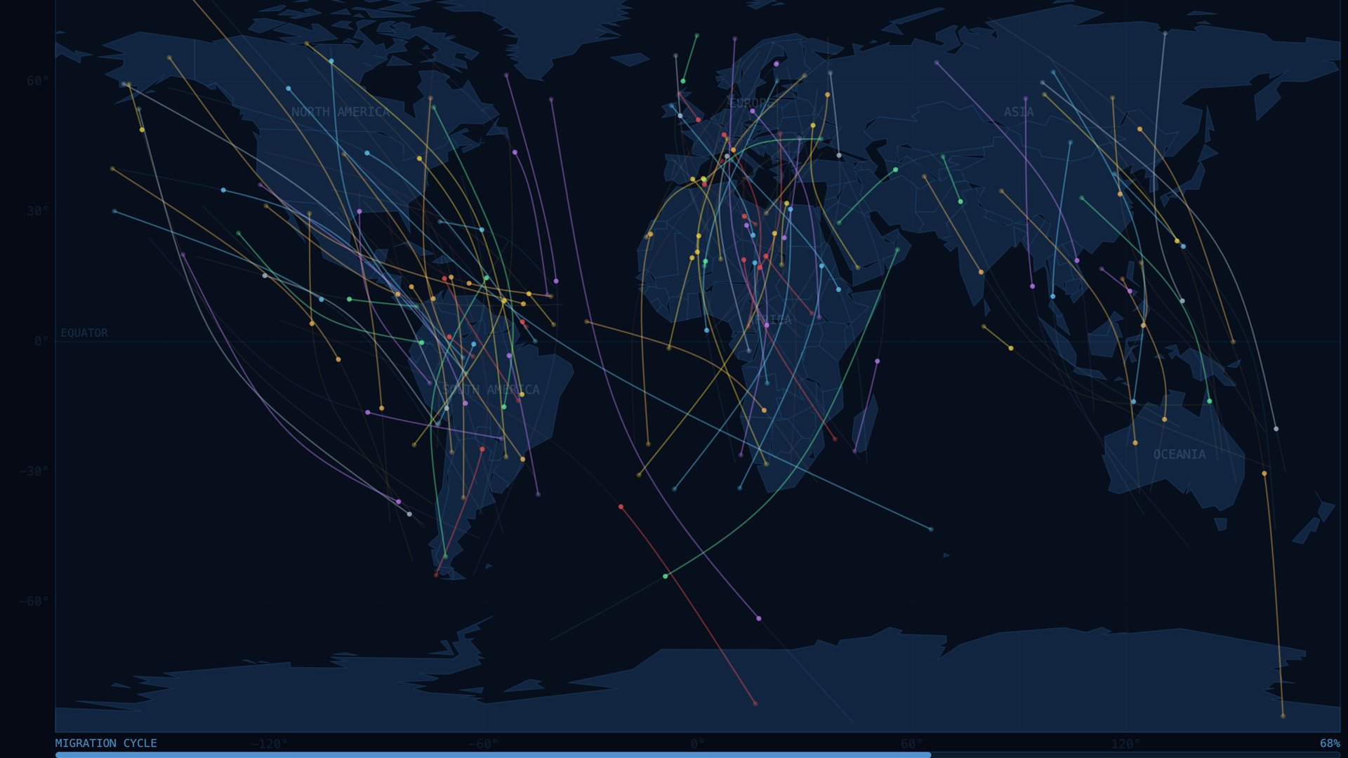
Flight Paths is an interactive data visualization built with p5.js that tracks the migratory journeys of birds across seven global regions in real time. The project pulls from a dataset of 1,000+ tagged birds across seven species (Warblers, Storks, Hawks, Cranes, Eagles, Geese, and Ducks) and animates each one as it travels its migration route on a world map. Each bird runs as its own independent object, managing its position, timing, and appearance separately from the rest. This is loosely modeled after the p5.js Flocking example, where each Boid handles its own behavior rather than being controlled from the outside. Instead of using the dataset's placeholder coordinates, birds are placed within their actual home regions and routed along real migration corridors: European birds head to Africa, Arctic birds move toward Europe, and Asian birds travel to Oceania. From the interface, users can pause or scrub through the migration cycle, filter by species, and speed up or slow down the animation. Clicking a bird opens a sidebar with its full record, including habitat, weather conditions, migration reason, altitude, flock size, and whether the migration was successful. Hovering over a bird shows a quick summary without needing to click. The map itself is drawn from a simplified GeoJSON dataset, with grid lines and region labels to help orient the data geographically. The project focuses on making a large, often invisible natural phenomenon feel tangible and specific. Bird migration happens at a global scale every year, and the goal was to create a way for people to explore that data at the level of individual animals.